
Colder air, light snow to invade by end of the week
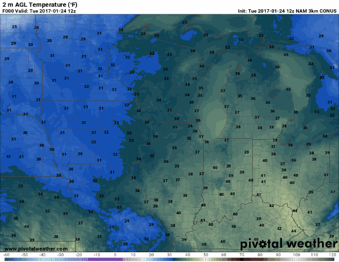
We're a bit cooler than the 60's we experienced over the weekend here in central Illinois, but still 15 to nearly 20 degrees above the average for late January in our neck of the woods.
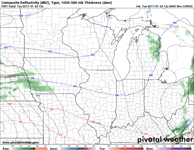
Winter lovers rejoice - a few snowflakes are in the forecast! Alas, we'll likely only see a light coating of snow from the system as some flurries move through the area overnight Wednesday into Thursday morning. Accumulations across Wisconsin, Iowa, and Minnesota will be sizable, while the system becomes much more disorganized as the southern end moves through central Illinois.
On the back side of the system, colder, more seasonably appropriate air moves in with high temperatures only in the 30s lasting well into next week. Still, no heavy snow or frigid arctic air shows up on the long-term forecast models heading into February. If we are to catch up to typical snowfall levels here in central Illinois for Winter 2016-17, we're going to need a major pattern change, and soon.